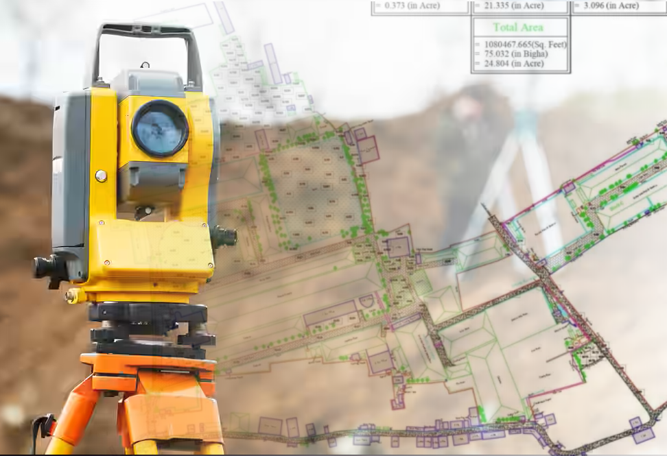
We offer advanced digital land survey and mapping services using GPS, Total Station, and Drone technologies. Our surveys ensure high accuracy, reliability, and clarity in project planning and land documentation.
BDTech supports architects, developers, and government agencies with detailed geospatial data for infrastructure development. Our precision-driven survey solutions reduce project risks, streamline planning, and enable smarter decision-making for every type of land development project.